


localisation spatiale
Ancrage temporel
Ressources répertoriées
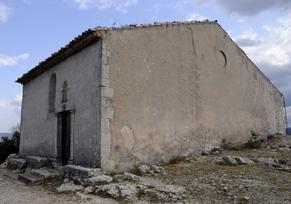
vue en 2008
© UMR CNRS/MCC 3495 MAP
--> albert.dufour2.free.fr
--> espaceloisirs.ign.fr
--> mapio.net
--> randojp.free.fr
--> w.barthelemy.free.fr
--> www.la-provence-verte.net
--> www.merveilles-du-var.net
--> www.patrimoine-religieux.fr
--> www.tourves.fr
--> fr.wikipedia.org
vue en 2008
© UMR CNRS/MCC 3495 MAP